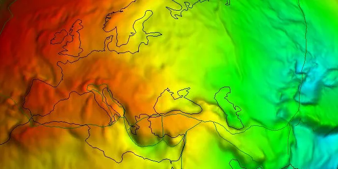
Geodesy is the science that focuses on determining the shape of the earth. In practice, geodesy within the engineering field includes measuring parts of the earth. Geodetic measurements are distinguished by the use of sophisticated techniques and instruments, such as tachymeters, laser scanners, metric cameras, radar and sonar, deployed from platforms such as satellites, aircraft, drones and vessels. These measurements, often over long distances require careful selection of reference systems and map projections.
In addition, the Earth's gravitational field plays an important role, especially with height measurements. The curvature of the earth, influenced by the gravity field, can affect measurement results and requires accurate models such as the geoid or ellipsoid.
Choosing the right reference system and map projections is important. Every map projection introduces biases, which can affect the application of measurements. In addition, accurately performing transformations between systems is essential for reliable results.
Geodelta staff are specialists in geodesy and can help you with geodetic issues in your organisation.
Want to know more about our geodetic consulting services?
Contact us for an introduction to our consultants or in-depth advice.
