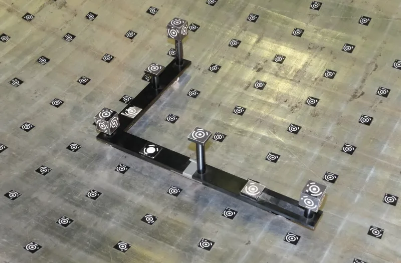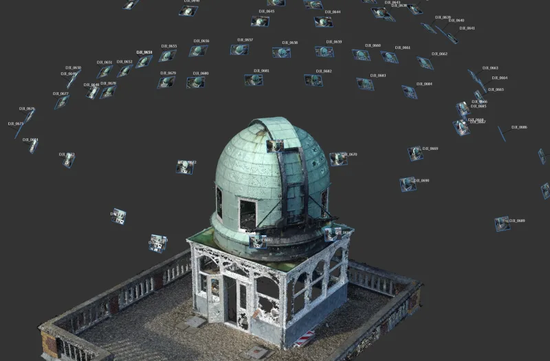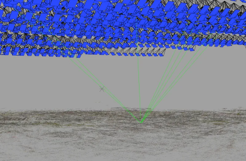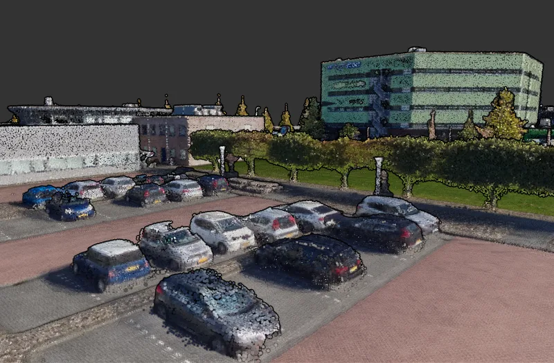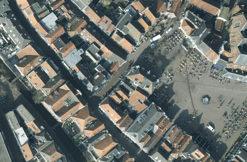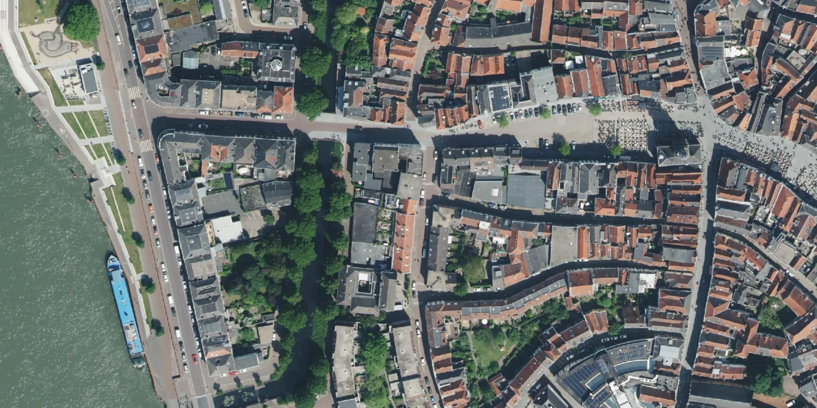
Photogrammetry is the technique by which measurements are made from photographs. Images taken from aircraft or drones can be used to quickly and efficiently acquire geo-information over large areas. On a smaller scale, such as for determining the shape of objects, it is referred to as close-range photogrammetry.
The basis of photogrammetry lies in taking photos with overlap. From this overlap, 3D coordinates are calculated, which can be used to generate derived products such as orthophotos, 3D models and point clouds. Thanks to the high degree of redundancy in the observations, photogrammetry offers measurements with very high reliability.
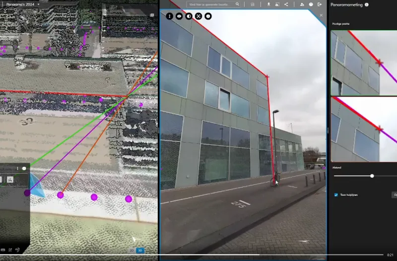
Our software
Geodelta develops several software products that enable photogrammetry to be used efficiently, user-friendly and accurately.
Our services
Our specialists in the field of photogrammetry are happy to help you with quality control, specifications, research and development.