
First understand what is going on
A geospatial information challenge starts with understanding what is actually happening and what information is needed to draw reliable conclusions. Sometimes that means defining requirements for survey work or demonstrating compliance. In other cases, it calls for research into issues such as subsidence or deformation of infrastructure.
Geodelta turns these questions into a technically sound approach. We prepare specifications, support tendering and carry out independent quality assurance. But we also conduct targeted research, develop analysis methods and write our own software when existing approaches fall short.
Three ways we help
Specification & tendering
We help clients translate their information needs into clear requirements, technical specifications and tender documents. We also support tendering, so it is clear in advance what must be delivered and how quality will be assessed.
Quality assurance & compliance
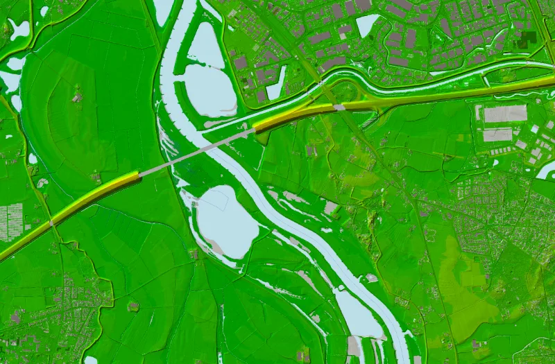
We independently assess whether survey work, data and workflows meet the specified requirements. This helps organisations demonstrate quality, establish whether data are fit for their intended use and manage compliance risks.
Research & development
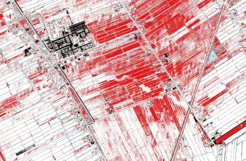
Some challenges require more than a standard approach. In those cases, we carry out targeted research, develop analysis methods and write our own software, for example for challenges involving subsidence, deformation analysis, large-scale data processing or process improvement.
Services & solutions




In practice
Not sure which approach you need?
That is often exactly where our involvement begins. Bring us your challenge, and we will first look at what is going on and which approach fits best.