Making geodesy easy
Performing reliable measurements is a craft. With Geodelta's software, we ensure that you can collect geo-information with ease and confidence. From deformation analysis to cadastral registration, our software engineers deeply understand the underlying principles and translate them into easy-to-use applications.
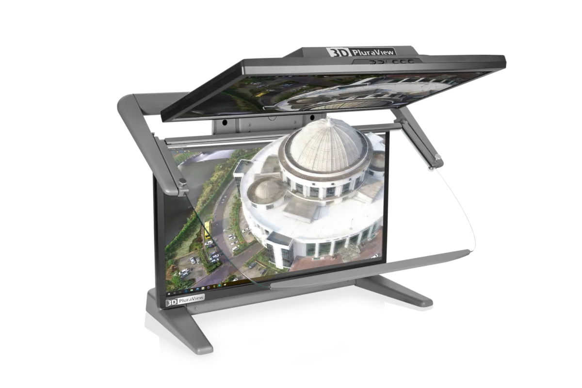
Accessories and hardware
For accurate stereo mapping, reliable and high-quality hardware is indispensable. Geodelta supplies complete stereo workstations, accessories and custom support specifically for professionals working with stereo images and 3D models.
As an exclusive reseller of Schneider Digital and VRLOGIC in the Benelux, we offer a carefully selected range of stereo displays, workstations, peripherals and transport solutions that perfectly complement applications such as EyeBase, our software for stereo mapping of basic registrations.