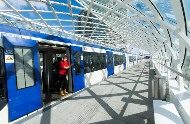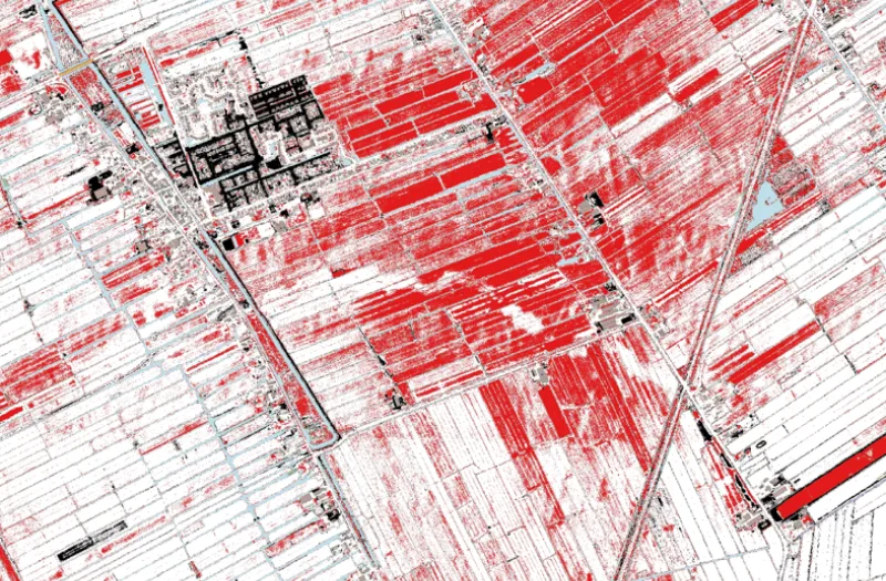
Deformation analysis is the part of geodesy that measures and analyses movements and shape changes of objects. These deformations can be caused by human activities, such as construction work, hydrological projects, ageing infrastructure or mining, but also by natural forces such as landslides and sinkholes.
With techniques such as levelling, tachymetry, GPS, laser scanning and InSAR, observations are made at multiple moments (epochs). Reliability is crucial here: measurement errors should not mask deformation, but neither should they signal false deformation. A careful approach is therefore essential to guarantee reliable results for risk assessment and asset management.
Our software
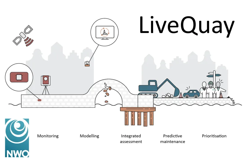
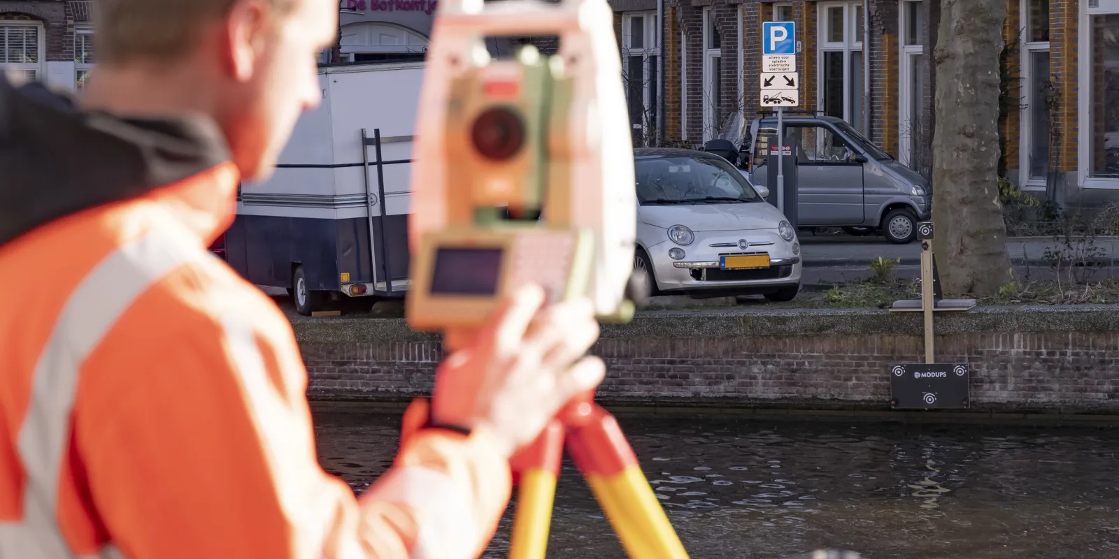
With MODUPS, Geodelta has developed a new methodology to accurately determine deformations of quay walls using photogrammetry. Read more about the MODUPS technology here.
Our services
Geodelta has extensive expertise in deformation analysis, ranging from the photogrammetric measurement of deformations in steel samples to the analysis of large-scale subsidence throughout the Netherlands. We also support clients in drawing up specifications for deformation analyses and in quality control of deformation measurements.