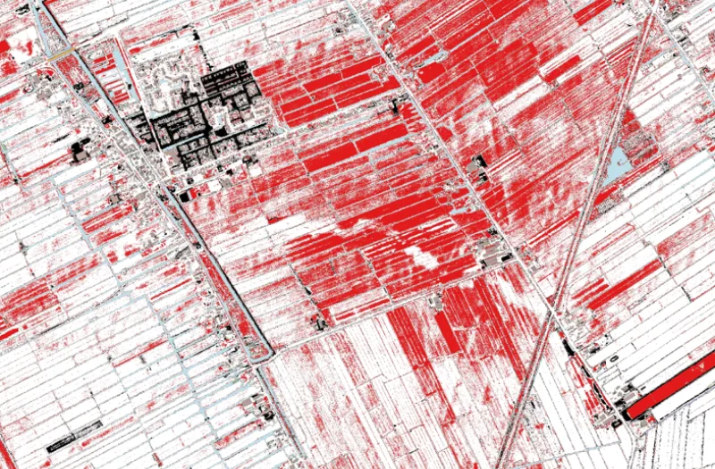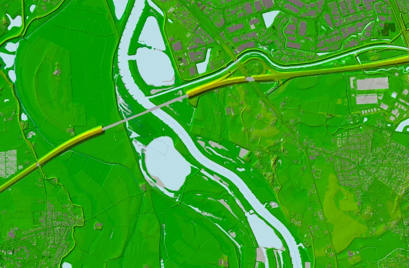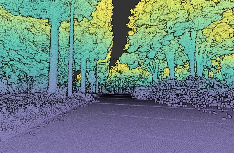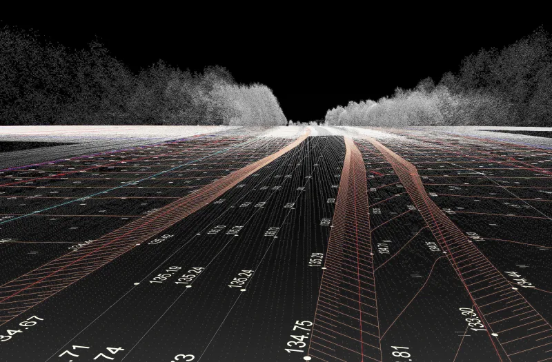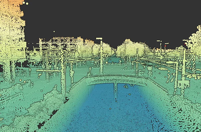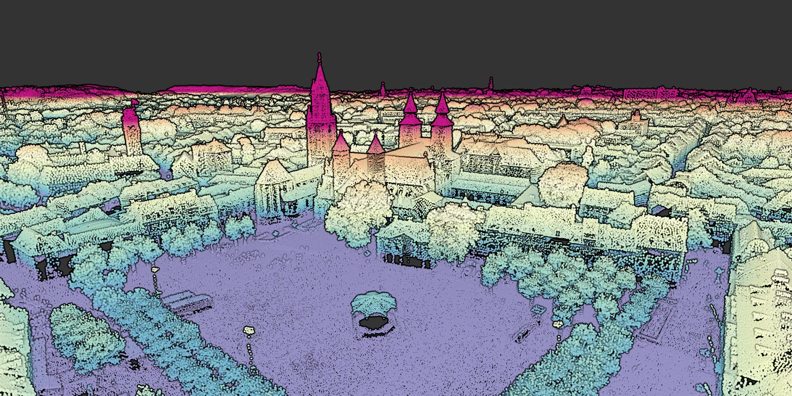
Laser scanning is a technique in which the environment is accurately captured using a laser scanner. This measuring instrument emits laser pulses at high frequency and generates a detailed point cloud. Laser scanning can be performed from platforms such as aircraft, drones, cars or statically from a tripod.
Our software
To make laser scanning data easy to use in any organisation, Geodelta has developed Omnibase. A cloud environment in which point clouds can be used user-friendly and accurately.
Our services
Our laser scanning specialists will be happy to help you with quality control, specifications, research and development.