Assurance of Critical Data
Reliable data is essential, especially when used in processes where safety or accountability is important. Examples of applications where reliable data is required are deformation measurements, water management and analyses for environmental regulations. Geodelta offers independent quality controls to ensure your geo-information meets predefined standards. This approach prevents measurement errors, ensures compliance in public tenders, and saves time through efficient and dependable data. We provide our quality control services for aerial photogrammetry, laser scanning, land surveying and many other means of spatial data acquisition.
Independent Assessments by Subject Matter Experts
Geodelta distinguishes itself with in-depth knowledge of geodesy, photogrammetry, and laser scanning. Our specialists understand these techniques in detail, enabling them to perform thorough analyses and evaluations. At the same time, we maintain complete independence: Geodelta does not conduct measurements, has never been active in that area and will never be active in that area. This commitment ensures objective and unbiased assessments for our clients.
Smart and Efficient Control Processes
Through extensive automation, we make quality controls swift and cost-effective. Our intelligent software automatically examines the data provided by the supplier, after which a Geodelta advisor conducts the final evaluation. You receive clear advice based on a thorough analysis, including concrete follow-up actions.
Collaboration at the Core
Every project begins with a discussion to determine which specifications are important to you. We then develop a control protocol that fully aligns with your requirements. If desired, the data supplier can deliver directly to Geodelta, and we can manage all communication with the supplier. Depending on your needs, you can opt for full 100% controls or a QC-process basef on sampling. The goal is an efficient workflow with short turnaround times.
Applications and Expertise
Deformation Measurements and Analysis
We verify adherence to measurement protocols and assess the provided land survey adjustments and computations, ensuring your data is suitable for safe and accurate analyses.
Aerial Photogrammetry
For photogrammetric data acquisition we have developed an automated QC-product that makes controls highly cost-effective. This allows you to embed quality control as a standard element of your data procurement.
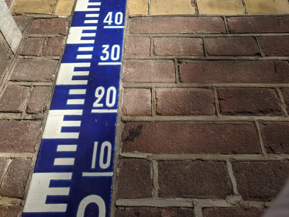
Laser Scanning
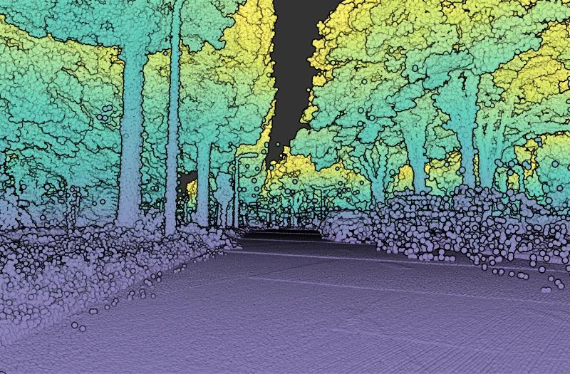
Often used for critical applications like measuring dike profiles or ground movements, our controls eliminate measurement errors, allowing you to confidently rely on this data.
Mobile Mapping
Dense urban areas pose challenges for mobile mapping. We perform automated checks on point clouds and panoramic photos, informing you about the data's suitability for various applications.
Drone Data
With the increasing use of drones for large and complex projects, we verify essential aspects such as camera calibration, lens distortion, and control points to ensure reliable data.
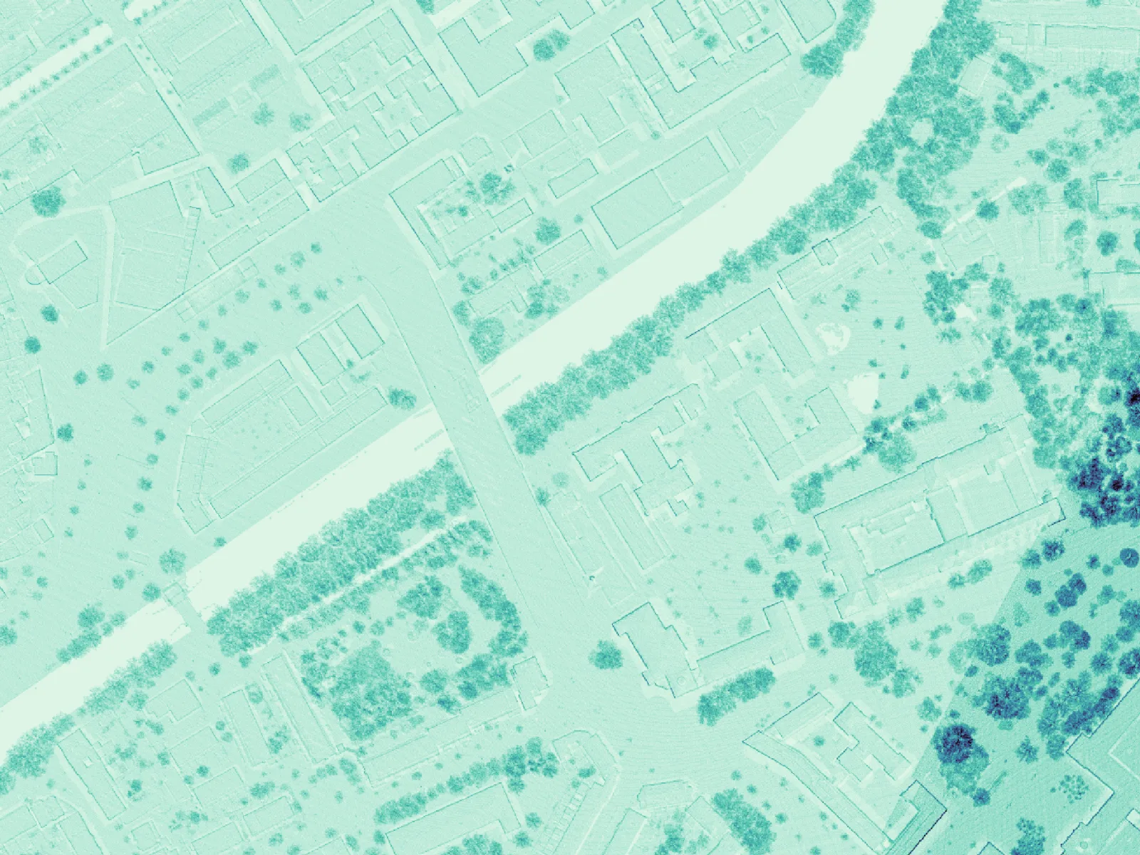
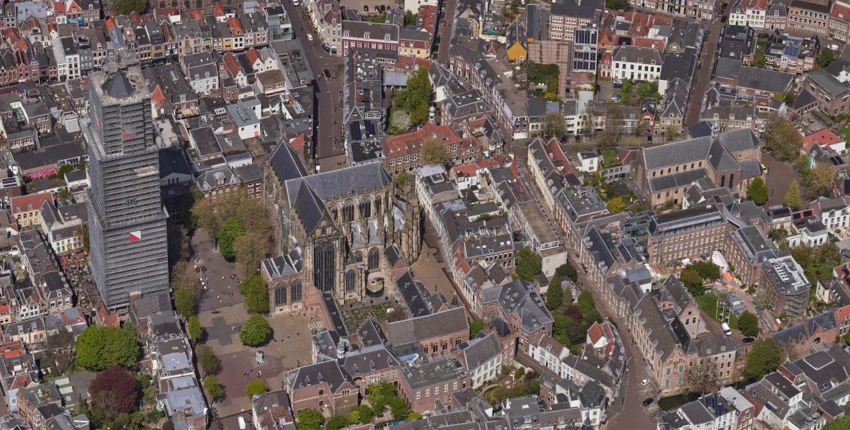
Special attention to aerial images
Aerial photographs are still the most commonly used source for collection geo-information. Therefore, Geodelta has developed a highly automated process to perform quality control on aerial images. This can be achieved though standardization of the specifications and the delivery.
References
Support for Your Project?
Independent quality control is crucial for the assurance of the quality and reliability of geo-information. Proper validations prevent costly errors and save you a lot of time. Feel free to contact us and discuss the possibilities.