
Requirements that fit the intended use
A dataset may meet every agreed specification and still prove unsuitable for its intended purpose. For example, the specified accuracy may turn out to be insufficient, essential data may not have been requested, or the results may not fit existing workflows.
Effective procurement therefore starts not with choosing a surveying method, but with determining what information is needed and what requirements it must meet.
Geodelta helps clients translate their information needs into technical specifications. We consider aspects such as accuracy, reliability, completeness, data currency, reference systems, data formats and how the quality of the delivered data can be verified.
Specifying outcomes without losing sight of quality
Where possible, we specify the required outcome without unnecessarily prescribing how a supplier must achieve it. This gives contractors the freedom to choose suitable techniques and working methods.
That freedom has its limits. Requirements concerning the survey design, control points, data processing or quality control may be necessary to demonstrate that the results are fit for their intended use.
Our knowledge of geodetic and surveying workflows enables us to make that distinction. The result is a set of specifications that is technically sound, achievable and verifiable, making clear to both the client and the bidder what is expected.
From information needs to quality control
Geodelta supports clients throughout the procurement process. The services we provide depend on the assignment and the expertise already available within the organisation. The formal procurement procedure generally remains with the client's own procurement team, while Geodelta provides the necessary technical expertise.

Requirements and scope
We start by exploring the information needs, intended use and relevant risks. What data is required? How accurate and reliable must it be? And which existing datasets and workflows need to be taken into account?

Tender documents and technical specifications
We translate these requirements into tender documents or a set of technical specifications. These define what must be delivered, the required quality and how compliance with the specifications must be demonstrated.

Tendering and evaluation
Together with the client, we help develop appropriate award criteria. During the tendering process, we provide technical input for responses to bidders' clarification questions and support the evaluation of bids.

Verification of deliverables
Our involvement can continue after the contract has been awarded. Through independent quality control, we assess whether the delivered data meets the agreed requirements and is suitable for its intended use.
From levelling to satellite data
Geodelta supports the procurement of a wide range of geospatial data and surveying services, from traditional levelling and land surveys to satellite-based monitoring using InSAR. For each application, we help establish the required quality and how it can be verified.

Imagery
Point clouds

Land surveying
Monitoring

InSAR
Topographic data
Not every project needs a new specification
Many clients have similar requirements. There is no need to develop a new specification from scratch for every project.
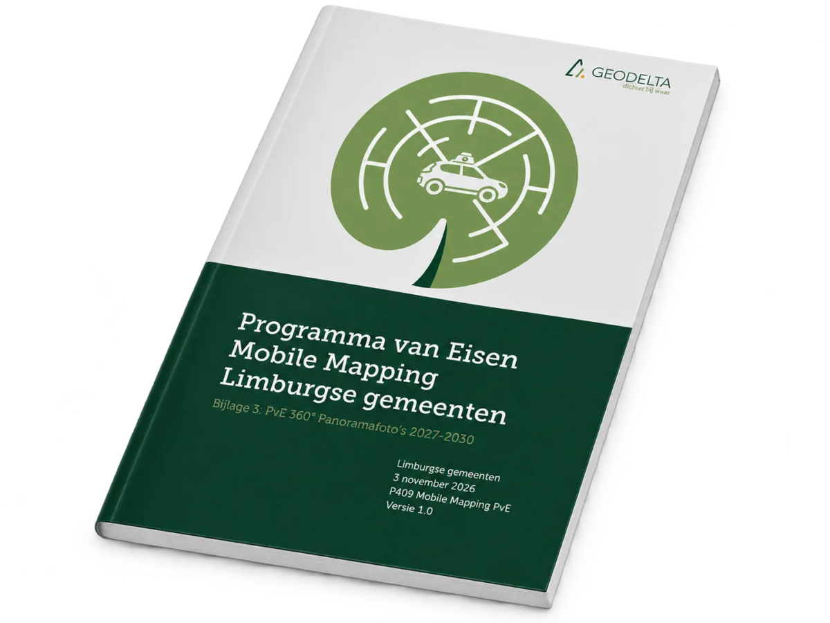
Geodelta has developed a modular standard specification for the procurement of aerial photographs, oblique imagery, panoramic imagery and airborne laser scanning data. This provides a proven starting point that can be adapted to the specific requirements and circumstances of each client. The specification is already used by dozens of Dutch municipalities and regional partnerships.
For deformation monitoring, we can also build on specifications and measurement protocols developed for previous projects. This allows us to limit customisation to those aspects that genuinely require it.
Planning to procure geospatial data?
Are you planning to commission new geospatial data collection or renew an existing surveying or monitoring contract? We can help you translate your information needs into a clear assignment, with requirements that match the intended use.