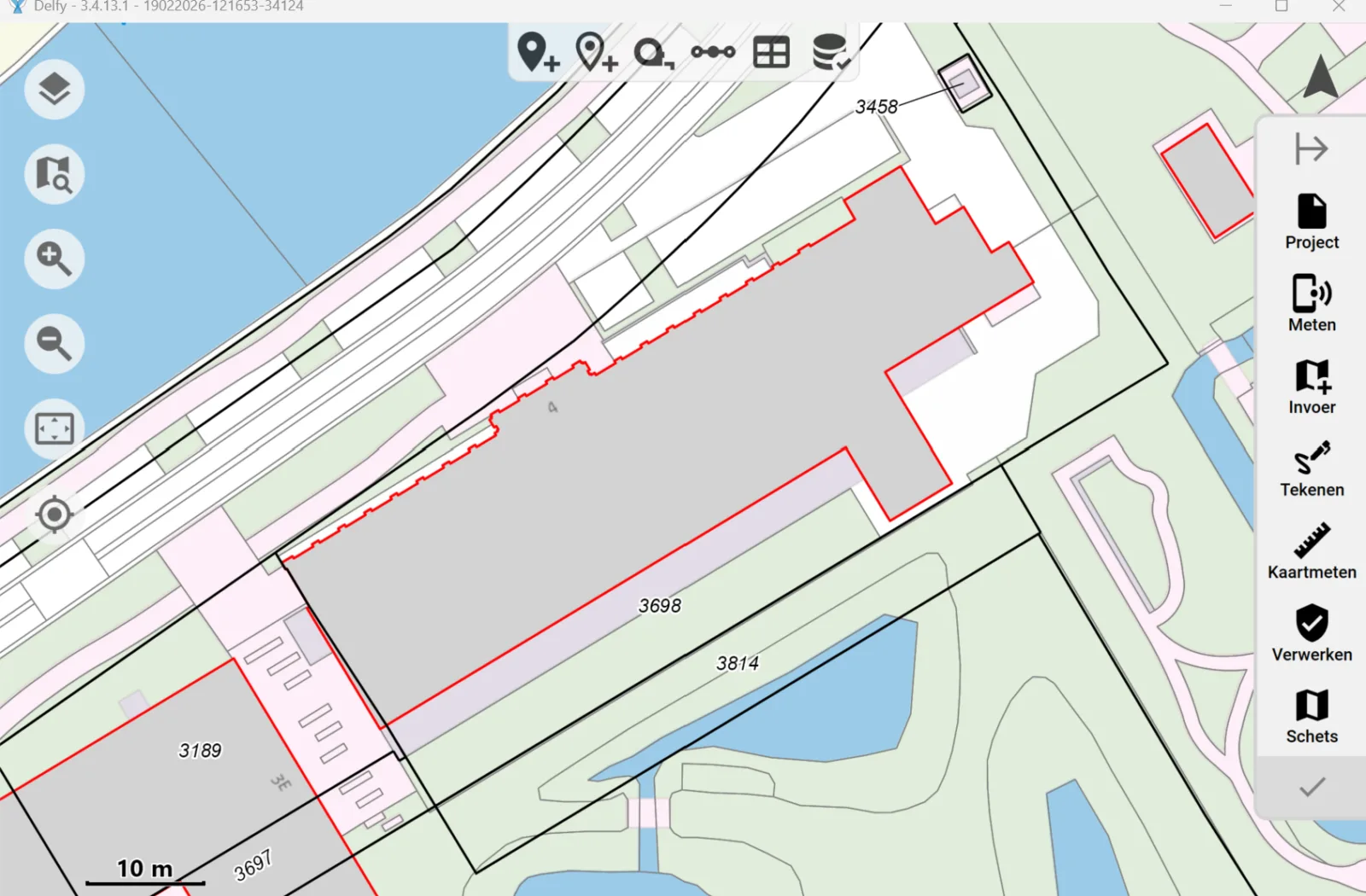
The new Delfy version 3.4.13.1 will be available soon, with a number of new features and improvements.
Adjustments to COGO functionality.
The following improvements have been made:
- For a number of COGO functions it is possible to quickly add sketch lines
- All COGO functions now have the ability to enable and disable associated geometric relationships.
- In addition, repeat hands have been added to all COGO functions, making it easier to repeat actions.

Dragging groups in the sketch
Groups of points and annotations can be dragged in the sketch by selecting an area.
More distinction between adjustment and sketch relationships
Geometric relationships on sketch points can be more easily distinguished on the map because sketch relationships have been given transparency.

Easier drawing in map
Drawing in map now includes sketch functions for line drawing (perpendicular, straight, cut lines).

New sketch styles: measurement arrow and leader line
It is now possible to draw a measurement arrow (a measuring line with arrowhead). In addition, leader lines can be added automatically when an annotation is moved using the drag label function, detaching the label from its anchor point.

Line annotation below the line, and multiple line annotations possible
Line annotation one-sided and double-sided can now also be switched sides, appearing above and below the line. Also, it is now possible to add multiple line annotations to 1 line.

Moving the measuring arrow parallel
The measuring arrow for parallelism moves along with the dimension label.
Quick button "See sketch..."
A function has been added to quickly add a "see sketch..." annotation. In this, select two pages, and the annotation is automatically placed. It is also possible to click on the overlap between 2 pages.
Take over street name
You can copy the nearest street name by right-clicking a road section in the large-scale topographic registration (BGT). The street name is added as an annotation aligned with the street.

Restore points, measurements and geometric relationships via Trashcan
Deleted points, measurements and geometric relationships can be recovered via the Trashcan.

Other improvements
- A major improvement has been made in speed when using large projects with many measurement points.
- Delfy is now automatically checked at startup to see if there is a new version of the ntrip certificate in the default folder.
- There is an improvement in dragging points and lines with many geometric relationships in the sketch.
- Local copies of cloud projects (in the 'projects' folder) are now automatically deleted when they are older than one year, to avoid excessive memory usage.
- While dragging the sketch page, the north arrow and other annotations and icons associated with that page will be dragged along immediately.