Geodelta supports ProRail with geodetic expertise and quality control of both aerial photos, oblique photos and point clouds.
Rail data and topographic registrations
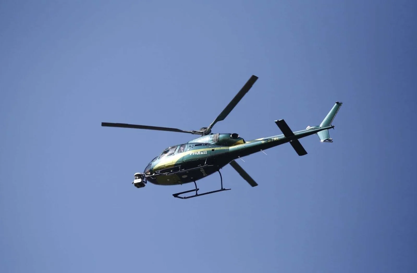
ProRail plays a crucial role in the Netherlands as the manager of a safe and efficient railroad network. In addition, ProRail is legally responsible for maintaining the Large-Scale Topographic Registration (BGT) within its area. Since 2018, ProRail has been collecting aerial photos, oblique photos and point clouds using helicopter flights. This data is essential for updating both its own management systems and the BGT.
Independent quality control
Geodelta supports ProRail as a geodetic specialist and takes care of the quality control of all acquired data. This independent control is of great importance, given the crucial role the data plays in ensuring railroad safety. Suppliers deliver the collected data directly to Geodelta, where it is largely automatically checked. Specialists at Geodelta review the results and approve the data before it is put into use. With a focus on consistent quality and short lead times, Geodelta makes an essential contribution to ProRail's data processes.
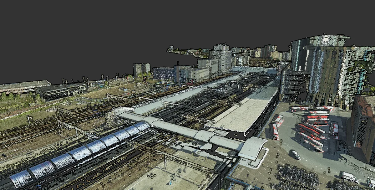
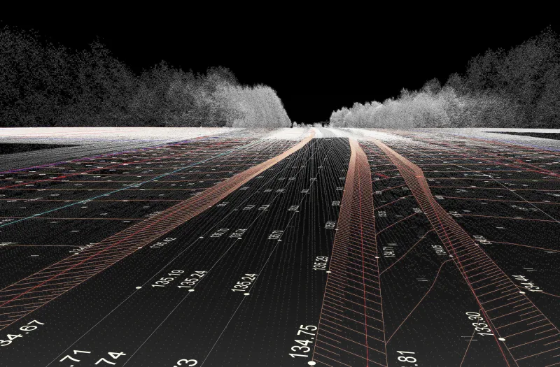
Point cloud data from helicopter at Amersfoort station
Unique approach: innovation in photogrammetric acquisition
The choice of photogrammetric acquisition from a helicopter is unique in the Netherlands. This method enables ProRail to collect high-resolution data more frequently. About six flights are carried out each year, updating at least half of the rail network.
Geodelta works intensively with ProRail and the data supplier to further improve geometric quality and further reduce lead times. This continuous process of innovation contributes to a robust and future-proof rail network.
With Geodelta's expertise, ProRail is assured of reliable data that contributes to safety, efficiency and an up-to-date infrastructure.