Research on height difference grids
- Client references
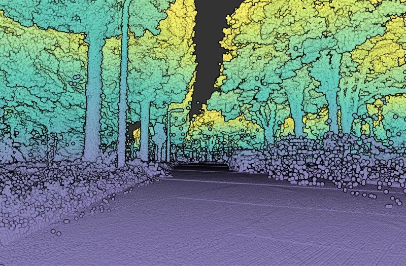
- Laser scanning
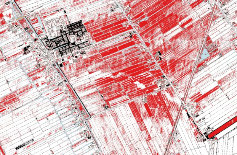
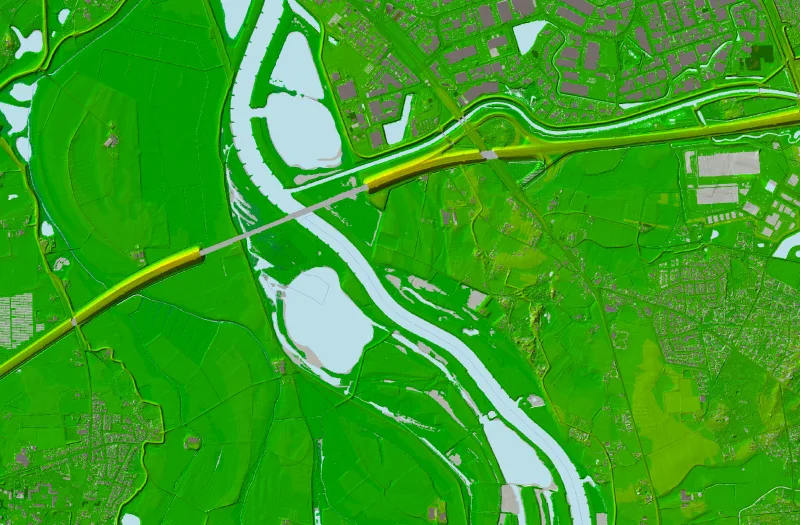
Geodelta has developed a height difference grid by comparing the data sets of AHN3 and AHN4. This grid provides an accurate understanding of shallow ground movements, without being disturbed by measurement errors from the original datasets.