Geodelta verifies the quality of the national height model on behalf of Waterschapshuis and its partners.
The importance of the AHN
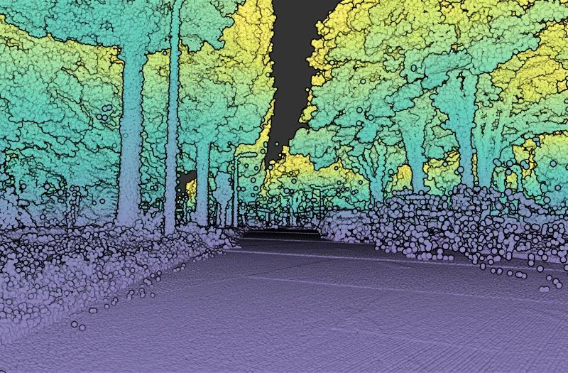
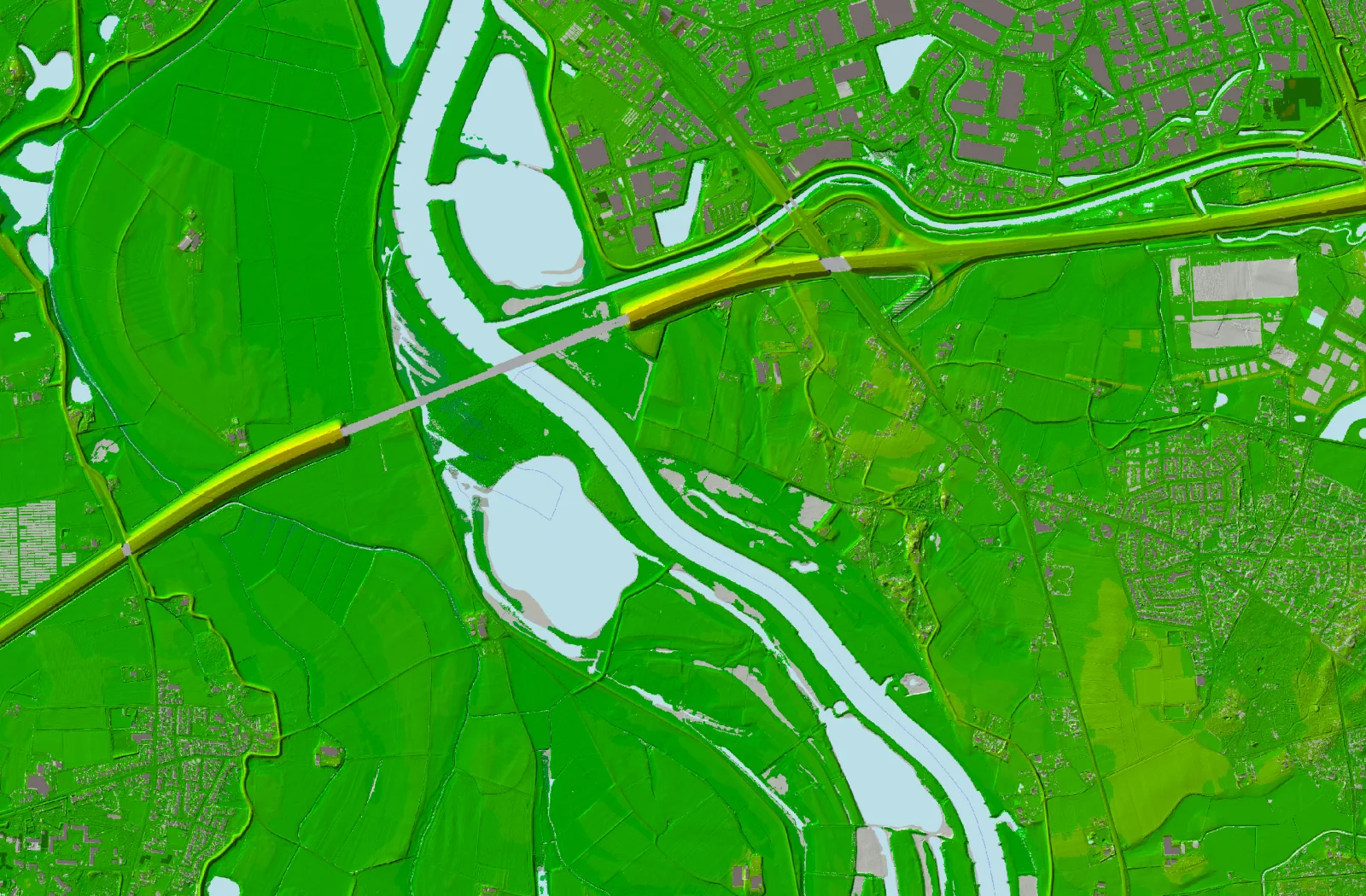
The Actueel Hoogtebestand Nederland (AHN) is a detailed digital elevation map that is crucial for a variety of applications, such as water management, infrastructure planning and environmental monitoring. Decisions based on the AHN, such as water level decisions, require accurate and reliable data.
Geodelta's comprehensive quality controls
Geodelta performs a wide range of quality checks on the AHN, focusing on:
- Completeness
- Geometric quality
- Classification
For geometric quality, we apply the strict requirements that follow from the AHN specifications. This means a maximum systematic error of 5 cm and a stochastic error (standard deviation, 1-sigma) of less than 5 cm.
Innovative QC processes
Since AHN4, Geodelta has developed an advanced automated verification process that allows us to ensure quality efficiently and consistently. With the launch of AHN5, we also introduced a new reporting format that gives clients quick insight into the findings.
Broad expertise
In addition to the national AHN, Geodelta also performs quality checks on local AHN specials, such as coastal and river geomorphological measurements. We also check height data collected in the Caribbean Netherlands.